Climatic changes have adversely hit our planet. Due to which many regions face drastic natural calamities such as earthquakes, tsunamis, and tornados which cause heavy losses to life. People lose their lives when they are stranded in the places where they have no access to food, potable water, and needless to say, no way out. Therefore, Unnamed Aerial Vehicles (UAVs) or drones are being designed to help the Disaster Management Forces to reach the far-fetched locations and identify people who are in need of help. Here, we are going to take you through top 10 drones for search and rescue operations along with their features that make them the best.
[table id=63 /]
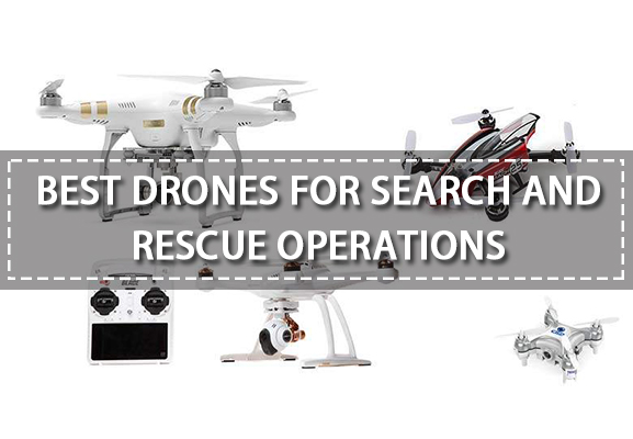
10 Best Drones for Search and Rescue Operations
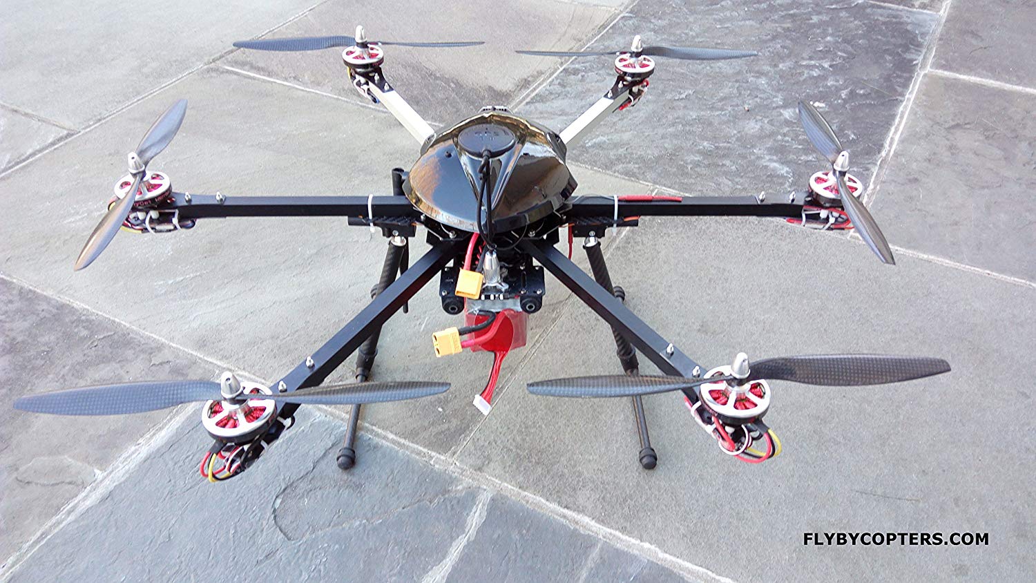
1. FlyByCopters X8 640 Quadcopter Drone
When it comes to selecting the top 10 drones for search and rescue operations, it is important to have a quadcopter which can help you map the site of disaster with utmost accuracy, and FlyByCopters X8 640 R quadcopter does just that.
- This powerful drone can perform thermal imaging, surveying and mapping.
- The Waypoints and RTI can be decided beforehand to optimise flight time.
- The SONY A6000 camera can be used to professional quality photos for creating 3D maps and geotagging images.
- Thermal Sensors help detect the temperature of the affected areas.
- The hi-tech GPS employed in the drone gives up to centimetres accurate location reading.
Though the drone falls in a higher price bracket, it is by far the best drone which will help you in the search and rescue operations.
[asa2]B06WP6L1S7[/asa2]
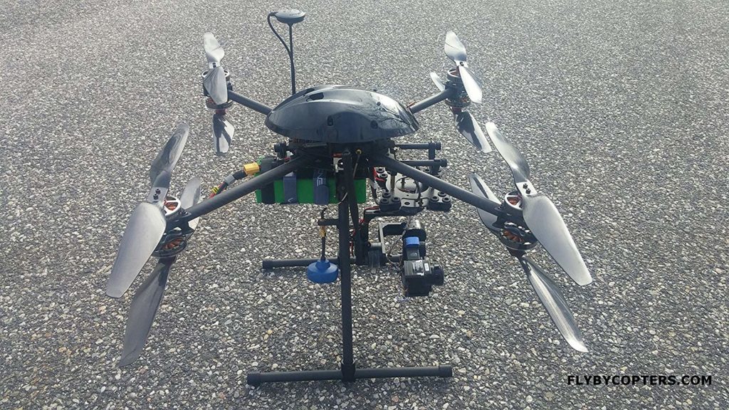
2. FlyByCopters Thermal Imaging X6 640 4K UHD Hexacopter
Powered by the Pixhawk 32 bit Autopilot Flight Controller, this hexacopter is the perfect drone to help you assist in analysing everything that went wrong and is wrong in a disaster prone area.
- The Fir Vue Pro Thermal sensor will allow you to detect if the temperature is suitable enough for the survivors and if not, immediate ejection for them can be planned. It helps in prioritising rescue operations.
- Ublox M8N GPS Unit ensures location accuracy.
- Intelligent flight features include AutoFly mode, Waypoints, Follow me mode and more.
- The hexacopter design gives it a better wind-resistance when compared to quadcopters.
- The aluminium foldable frame and compact design make it easier to carry.
- The FPV Screen in-built in the transmitter helps you access the live feed.
The above features and more make this hexacopter an ideal companion for saving people in a disaster-hit region.
[asa2]B06VWSS3T5[/asa2]
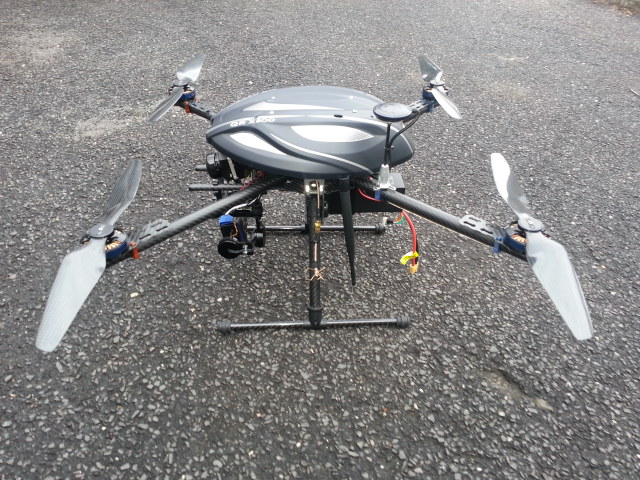
3. FlyByCopters X8 336 Quadcopter Drone
A less-expensive version of FlyByCopters X8 640, X8 366 also comes with Six different flight modes and 2 channels, making it easier for the rescue-workers to conduct safety drills.
- The FPV screen will help you view the site of disaster without having to go there through the Fir Vue 366.
- The thermal sensors will help you detect the temperature.
- The carbon fibre frame can endure the harshest of the temperatures.
- The thermal image surveying and mapping include Geotagging Photos, Aerial Photography, temperature detection.
- 32-bit AutoPilot Flight Controller allows you to focus on the footage while drone shows you the condition of the sensitive regions.
This drone is powered by 8000 mAh batteries which give the drone a flight time of 25 minutes.
[asa2]B06X3W4Q7L[/asa2]
4. X4 336 Quadcopter Drone by FlyByCopters
Another drone by FlyByDrones which will make the work of the disaster management volunteers and forces easier is X4 quadcopter drone by FlyByCopters with an astonishing knack for surveying and mapping the affected regions to forward aid to the affected people.
- 32-bit AutoPilot Flight Controller makes flying the drone easier while you focus on the FPV screen for analysing the location.
- Ultra-smart Thermal Sensors will help you geotag photos automatically so that you can recognise the source of fire and create a mind map of places where firemen should not step in.
- You can switch between the thermal sensors and the Fir Vue 366 camera just by a click on the transmitter.
Apart from the above features, there is a lot more to these drones by FlyByCopters which make them the perfect search and rescue drones.
[asa2]B06X1BY12N[/asa2]
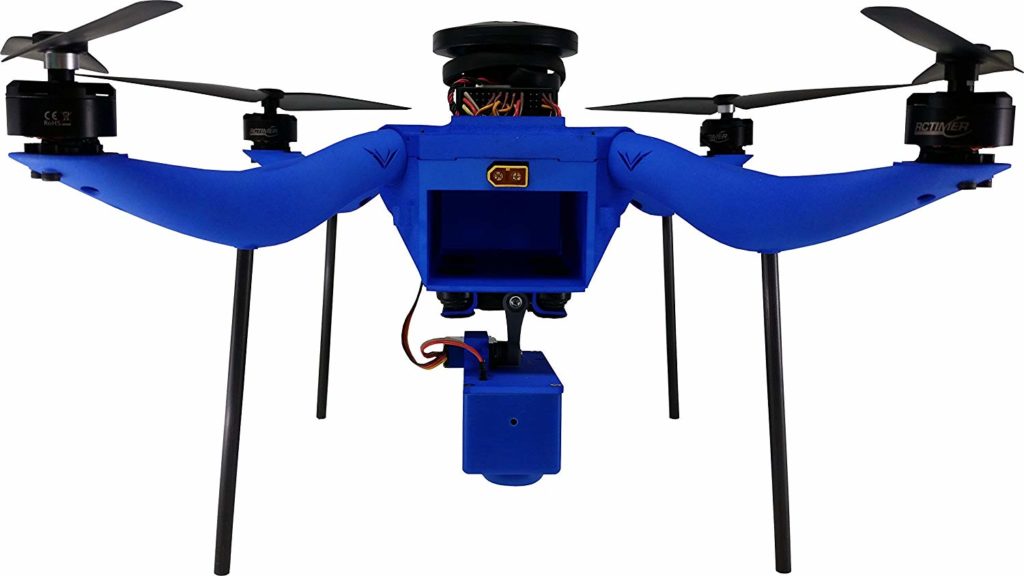
5. ALTA UAV by Freefly Systems
Now that we know the drones which will help out in the process of surveying, mapping and geotagging, it is necessary to be aware of the drones which will be of great help in carrying the food and water to the victims. ALTA UAV is one such drone.
- The drone comes in Ready-To-Fly condition, i.e. unpack the drone and it is ready to take-off in 5 minutes.
- The drone is manufactured indigenously with carbon fibre to bear the extreme temperatures.
- Most importantly, it is optimised to carry up to 15 pounds of the payload so that the people who are stuck in the aftermath of the disaster can be provided with food and potable water.
- SYNAPSE Flight Controller will allow you to calibrate the drone so that you can control the drone in the most complicated situations with utmost ease.
[asa2]B013OMDM6Y[/asa2]
6. Field Hawk Ag+
Field Hawk Ag+ is a beginner drone which can be used in areas where there is a risk of losing the footage due to water because this is a waterproof drone with the waterproof slot for SD card as well.
Delivering and mapping are two skills that this drone has mastered in to become one of the top 10 drones for search and rescue operations
[asa2]B0774Z5CC2[/asa2]
7. DJI Inspire 1 Pro
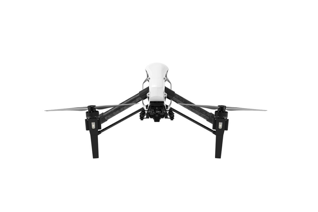
When speaking of search and rescue drones, DJI has designed the best quality drones which can stand high temperatures, give a long flight time and can cover far-off distances, provide superior quality images and videos of the areas affected by disaster making search and rescue an easy task.
When it comes to performance, DJI Inspire Pro is the drone you should opt for assessing huge areas. Here are some features of DJI Inspire Pro 1:
- The drone flies at the speed of 49 mph or 79 km per hour with the wind resistance of an alarming 10 m/s, which are both crucial for conducting rescue operations.
- The Radio controller works at a frequency of 2.4 and 5.8 GHz along with the transmission distance of 1.2 to 3.1 miles.
- The intelligent flight battery in the drones is powerful with 4500 mAh of power which can help the drone fly for up to 18 minutes.
- The 12 Megapixel camera will help you capture the disaster scenes with utmost accuracy without any compromise on the details.
- By downloading the DJI Go app, you can see the real-time footage of everything that the drone can see and locate people and areas which could use some help.
All the above features of the DJI Inspire 1 Pro will prove helpful in creating a map of the regions which require urgent attention and creating the news reports.
[asa2]B0159CSTWE[/asa2]
8. DJI Mavic Pro
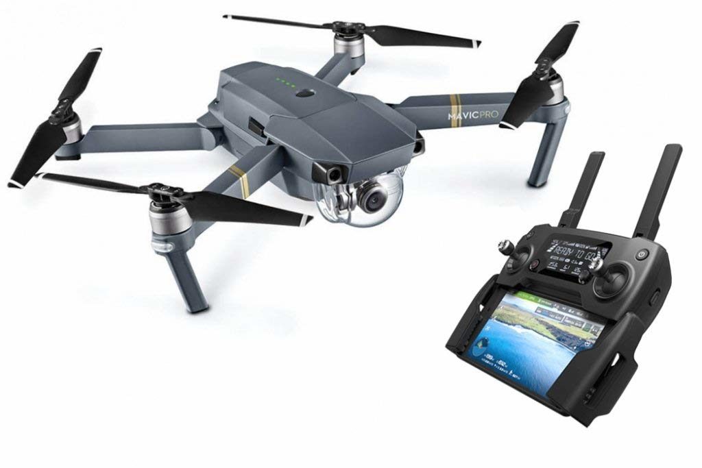
If you are looking for a drone which will help you conduct a search operation for a long duration then DJI Mavic Pro is the drone for you!
- DJI Mavic Pro offers a flight time of 30 minutes, which is perfect for locating the people in need of assistance.
- The drone is small and lightweight, then again, one cannot take it for a feeble machine as it is made up of strong material for manoeuvring effortlessly in the narrow structures.
- The enhanced noise control mechanisms make sure that the victims of disasters are not alarmed with the noise.
- The 4k stabilisation camera helps capture the details of disaster with accuracy.
- You can cover up to 7 Kilometres or 4.3 miles with this quadcopter in one flight.
Apart from the above advantages, the Flight autonomy feature allows the drone to sense barriers from 49 feet away, protecting the drone from all possible damage.
[asa2]B07DDNR6VH[/asa2]
9. DJI Inspire 1 Raw
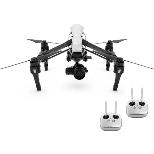
DJI Inspire 1 Raw sport the perfect design you were looking forward to when searching for a search and rescue drone. It is the smallest camera drone out there which will help you manoeuvre into the damaged structures to find out the people in need of help. Other features which make it your perfect search and rescue partners are:
- The drone is powered by the incredible M4/3 Zenmuse 4 Camera, which is amongst the smallest cameras ever made.
- The DJI Go app will allow you to control your drone through your smartphone or tab where you will also be able to see the live feed of what is in the line-of-sight of the drone camera.
- The flight time of 15-18 minutes can be utilised well by setting a flight course before taking off through Waypoints.
The Cross Lock, Home Lock and Point of Interest are other features of this drone which make it a viable drone for search and rescue operations.
[asa2]B019R1519W[/asa2]
10. DJI Phantom 4
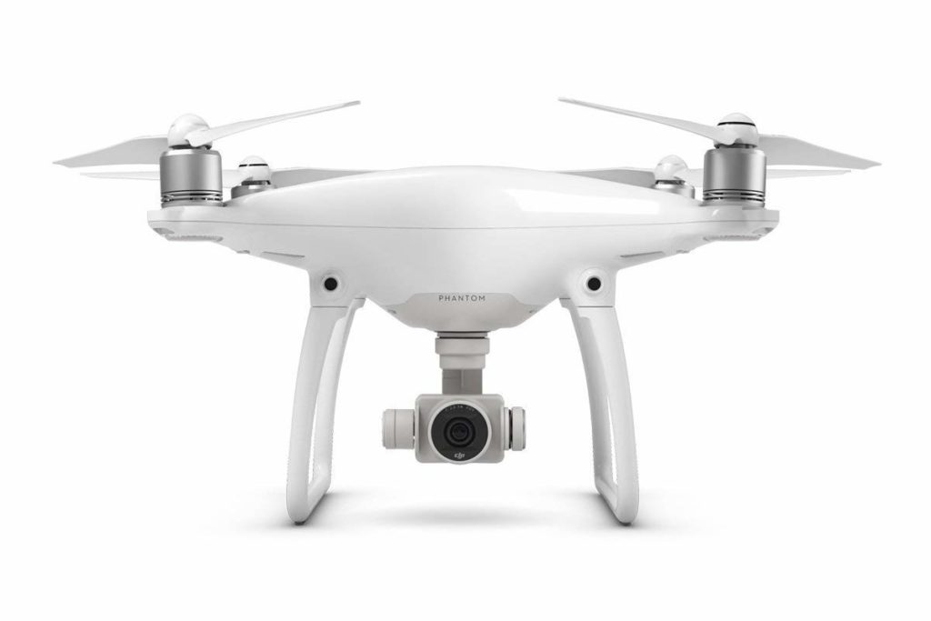
If you are looking for a drone which can manoeuvre across the damaged structures without damaging itself, then DJI Phantom 4 with 2 direction obstacle detection is the drone for you.
- Titanium and magnesium alloys used to make the drone make it rigid enough to stand extreme temperatures.
- With the extraordinary pictures and videos that you can capture with the built-in 20 MP camera with CMOS sensors.
- The 5.5 inches FPV display in the RC will help you navigate through the site in order to conduct an efficient survey.
[asa2]B07FT52GWJ[/asa2]
How Drones Help in Disaster Management
- To spot victims in the damaged buildings who are still trapped in the aftermath of a disaster.
- To film and report natural disasters.
- To analyse the level of damage the natural disaster has caused to the environment of the region.
- To assess and manage the structural mutilation caused to the buildings and high-rises.
- Drones can help the firemen to locate the source of fire and extinguish the fire from the very source.
- Firemen can also detect the places which are safer to enter the building by inspecting the area or buildings through the drone.
- The information collected by the drones at the time of disaster can also be used for legal purposes.
- The drones can also be used the areas frequently facing natural disasters so that 3D models can be created beforehand to help the forces be prepared about the areas which need urgent attention.
- When people are stranded in areas where it might take some time to rescue those, drones are used to make food and water available to them.
The use of UAVs as a part of search and rescue operations helps the forces cut down on costs as well. All thanks to the economically viable drones, the above tasks which were earlier done by employing helicopters can now be done easily at lower costs. In addition to that, a lot of time is also saved when using drones instead of bringing helicopters down from different ports.
Certain Criteria for Drone in Search and Rescue Operations
The drone operators and enthusiasts who volunteer to help the forces at the time of disaster should study the features required in a drone to be helpful at the time of need.
- Longer flight duration
- Return to home function
- First Person View Technology
- Global Positioning System
- Intelligent mapping technology with thermal sensors
Apart from your drones fulfilling the above basic requirements, the pilot should also clear an aeronautical test conducted by the FAA (Federal Aviation Administration). This test is a result of the melting ice between the flyers and the authorities regarding the use of UAVs concerned to privacy and safety. They have now altered their policies to permit the use of drones for the aid of the search and rescue operations in disaster-prone areas.
Choose the Best Drone for Search and Rescue Operation
There you have it! Now that you know the top 10 drones for search and rescue operations, you can opt for one of the above drones and use them for the good of the society.